
3 Ways to Identify a Safe Neighborhood
- 21 Aug 2026
- Munif Ali
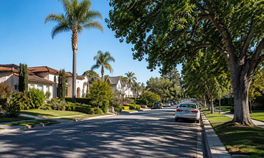
Illustrative image generated with AI
You can renovate a house, change the paint, or upgrade the kitchen, but you can’t personally redesign the streets, traffic patterns, public spaces, and community conditions around it. So knowing how to find a safe neighborhood should be part of every homebuyer’s research.
If you are wondering how to evaluate a neighborhood, start by looking beyond the listing photos. Here are 3 practical ways to get started.
How to Find a Safe Neighborhood
If a property catches your attention, spend some time researching the surrounding area before you get too attached to the listing photos. The kitchen may have the perfect countertops, but you also want to know what the trip home looks like at 8 p.m.
While no community can guarantee complete safety, certain details can give you a better sense of how an area functions day to day.
1. Check Crime Trends and Local Data
A neighborhood’s reputation can tell you what people think about an area, but local data can help you understand what has actually been reported there.
The FBI’s Crime Data Explorer is one useful starting point for buyers researching communities in the United States. It provides access to reported crime information from law enforcement agencies and allows users to explore data through maps, visualizations, and downloadable files. As of July 2026, the FBI’s latest national data showed reported violent crime declining across several categories compared with the previous period, including an 8.2% decrease in robbery and an 18.8% decrease in aggravated assault.
Of course, national statistics are not enough. You want to narrow your research down to the community you are actually considering.
Look for patterns over the years. Are reported incidents becoming more frequent? Are they declining? What types of incidents are being reported? How does the area compare with nearby communities?
Being classified as a safe neighborhood doesn’t mean nothing bad ever happens there. Every community has its own risks and challenges, and you must decide whether they fit your comfort level and priorities.
You should also be careful about comparing neighborhoods using raw numbers alone. A community with more reported incidents may also have a larger population, more businesses, heavier traffic, or more visitors. However, a smaller residential area may have fewer reports simply because it has fewer people and activities.
Knowing how to evaluate a safe neighborhood requires context. Local government websites, police departments, planning agencies, transportation departments, and other public sources can provide additional information.
Data gives you a starting point. Your own observations give it context.
2. Evaluate Walkability, Lighting, and Street Conditions
You can learn plenty about a neighborhood from a computer, but eventually, you need to put your shoes on.
If you have children, walk regularly, use public transportation, or simply prefer leaving the car at home when possible, take a closer look at how vehicles and pedestrians share the streets.
Assess if it’s comfortable walking at night or if a particular intersection is difficult to cross during rush hour. You need to see those things for yourself.
The CDC’s 2024 Built Environment Assessment Tool considers features such as roads, intersections, crosswalks, traffic controls, public transportation, and access to safe, attractive sidewalks when assessing the walkability score. It can give you a quick indication of how easy it may be to reach nearby destinations without getting behind the wheel.
Street lighting deserves the same attention. During a daytime showing, buyers can easily overlook lighting because the sun is doing all the work. If you can, visit the neighborhood after dark. Check whether streets, sidewalks, entrances, parking areas, and intersections are adequately lit. Its guidance also points to shorter crossing distances and connected streets as features that can make walking easier and safer (CDC, 2024).
Street conditions matter, too. Cracked sidewalks, faded markings, poorly maintained roads, blocked walkways, or difficult crossings can affect how residents move around the community. These conditions don’t automatically tell you whether an area is a safe neighborhood, but they are worth noticing because they affect everyday mobility.
If the neighborhood’s walkability score looks impressive online but the actual route feels disconnected or difficult, that is useful information.
3. Check Access to Emergency Services
Nobody wants to imagine an emergency while shopping for a home. But being a prepared homeowner means understanding the neighborhood safety resources available.
How far is the nearest hospital? Where is the closest fire station? What police or emergency response resources serve the area? How easily can emergency vehicles reach the property?
Check nearby hospitals and urgent care facilities, fire stations, and the appropriate local emergency response agencies. You can also look at road access to and from the property. A location that appears close to an emergency facility on a map may have a very different travel experience depending on traffic, road design, or available routes.
Emergency preparedness is also bigger than police, fire, and medical services.
Natural hazards should be part of the conversation, particularly in areas that may face flooding, earthquakes, wildfires, severe storms, or other risks. FEMA’s National Risk Index provides community-level information on 18 natural hazards, including expected annual loss, social vulnerability, and community resilience (2023).
Fire and emergency response systems are also becoming more data-driven. In 2024, the U.S. Fire Administration began rolling out the National Emergency Response Information System (NERIS), a modern information and analytics system designed to give fire and emergency services more timely information for incidents including fires, vehicle crashes, medical emergencies, and hazardous material events.
When buyers ask how to find a safe neighborhood, they often overlook emergency access because it isn’t as visible as a nice street or attractive park. But it can be one of the most practical things to investigate.
Find a Safe Neighborhood with Pacific Playa Realty
A home can check every box on your list and still not feel like the right place once you start looking beyond the property line. The surrounding streets, the neighborhood’s upkeep, available services, and how the area fits into your daily routine all factor into the decision.
Our agents know that buying a home comes with plenty of questions. We are here to help you explore the market, understand your options, and find properties in communities that align with what matters to you.
When you are ready to find your place in Los Angeles, Pacific Playa Realty can help you find more than a house, but a safe neighborhood where you want to live.
Key Takeaways
- A safe neighborhood is often characterized by friendly, welcoming surroundings, including good street lighting, safe sidewalks, and community activities that foster a strong support network.
- Proximity to safety services, such as emergency and fire services, fire hydrants, and medical care, is essential for a secure neighborhood. It ensures help is always nearby when needed.
- Good maintenance, including clean streets, green spaces, and the absence of abandoned buildings, signals that residents care about the area’s safety and stability.
References:
Centers for Disease Control and Prevention. (2024, February 7). Built environment assessment tool and manual. U.S. Department of Health and Human Services.
https://www.cdc.gov/physical-activity/php/built-environment-assessment/index.html
Centers for Disease Control and Prevention. (2024, February 12). Designing activity-friendly communities. U.S. Department of Health and Human Services.
https://www.cdc.gov/physical-activity/features/designing-activity-friendly-communities.html
Federal Bureau of Investigation. (2026). Crime Data Explorer. U.S. Department of Justice.
https://cde.ucr.cjis.gov/LATEST/
Federal Emergency Management Agency. (2023). National Risk Index overview fact sheet. U.S. Department of Homeland Security.
https://www.fema.gov/sites/default/files/documents/fema_national-risk-index_overview-fact-sheet.pdf
U.S. Fire Administration. (2024, March 12). Six fire departments onboarded onto the new National Emergency Response Information System. Federal Emergency Management Agency.
https://www.usfa.fema.gov/about/media-releases/usfa-announces-the-launch-of-the-prototype-version-of-neris/